Texas Underground Water Maps: Do You Have Enough Data to Dig with Confidence?
Written by

Published on
June 4, 2023
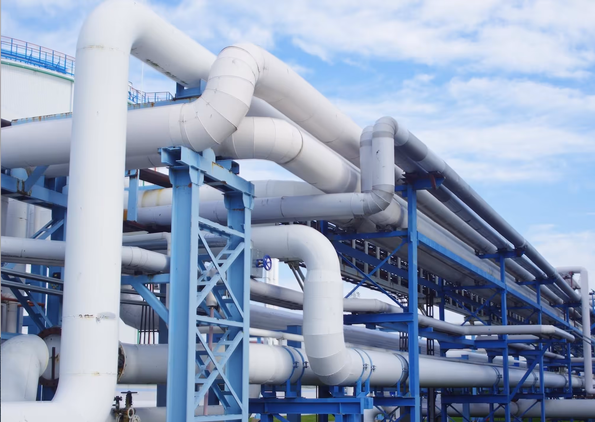
Table of contents
Whether you plan to dig bore-wells or lay the foundation of a building, there’s a strong possibility that underground utility lines lurk beneath your job site. A vast network of subterranean infrastructure includes utility lines for oil and gas, electricity, telecom, water, and wastewater.
Digging blindly or with outdated information can damage this infrastructure and have unintended consequences, from costly repairs to penalties. In particular, digging over water and wastewater lines can break pipes, cause infrastructure damage, and contaminate drinking water. To mitigate the risk of strikes, it’s crucial to identify utility lines accurately before a project begins.
Most governments and some private organizations make underground water and wastewater maps available to the public. The maps help to some extent; however, they may contain imprecise, incomplete, or out-of-date location data. In this article, we’ll evaluate whether Texas underground water maps provide enough information to dig with confidence.
Who provides retail water and sewer utilities in Texas?
In Texas, retail water and sewer utilities are provided by both private and public entities. The Public Utility Commission (PUC) of Texas issues Certificates of Convenience and Necessity (CCN) to entities that offer water and sewer services to the public. A CCN holder has the exclusive right to provide utility services within an identified boundary.
Many housing complexes, gated communities, and similar residential arrangements are served by private CCN holders. Municipal and district authorities may not provide utility services in these exclusive areas, but do in most other places. Even though they provide water and sewer services to citizens, municipalities and districts are usually not required to possess a CCN.
There are CCN areas in which multiple authorities overlap, due to dual certifications. These situations are beneficial to residents and utility customers because they may have the option to choose the utility service they prefer. For engineers and contractors, however, dual certifications make it difficult to ascertain which CCN holder maintains utility lines under the land on which they plan to dig.
Where can I access Texas water and wastewater utility maps?
The PUC's official digital mapping data contains downloadable information related to retail water and sewer utilities. This data includes current boundaries of areas managed by various CCN holders. The PUC of Texas also has a CCN Viewer Tool, allowing property owners and other interested parties to check who provides water and sewer services to a particular property or address. However, these tools have no specific information regarding water or sewer pipes—meaning you cannot discover exactly where the pipes are located.
The Texas Water Development Board (TWDB)’s Groundwater Database (GWDB) contains valuable information about selected water levels, oil and gas tests, wells, and springs. However, these maps do not provide any information about the location of underground utility lines.
You need more than underground water maps to dig with confidence
These readily available sources provide valuable information, but it’s insufficient to inform construction projects because it lacks details on the exact placement of utility lines. Additionally, data from state water boards may be outdated, as public agencies often update underground utility data at delays ranging from several months to more than a year.
Finding the details on the exact location of utility lines and other underground infrastructure can be challenging. Quite simply, the current solutions don’t provide the data you need to dig with confidence.
What about 811?
Texas 811 is a free service that can give you information about where underground utilities are located and which utilities operate around your project site. In Texas and other U.S. states, calling 811 is a legal requirement before you start to work on a project that requires digging.
Unfortunately, 811’s data only covers public utilities and may contain inaccuracies or lead to locating errors. That’s because many utility lines are undocumented or have been abandoned in place—and that undocumented infrastructure can pose a threat to projects that involve excavation. Unregistered utility lines may not be identified by 811 locators or may be conflated with documented utilities.
Let’s be clear: 811 is an essential service and a legal obligation, but depending on your project needs, you probably need more detail to plan, design, and dig with confidence than 811 can provide.
AI-enabled utility mapping solutions
Thanks to emerging technology such as artificial-intelligence (AI) and remote sensing, you can now gain an up-to-date view of subsurface utilities in any Texas location to aid construction project planning. AI-enabled utility mapping solutions collect visual evidence to confirm as-built data in conjunction with remote sensing of field conditions from satellite evidence. The process identifies and includes unregistered or abandoned utility lines, giving you a clear understanding of the subsurface landscape during the planning phase of your project.
While you’ll still need to call 811 and send out locators to verify the exact location of utilities before excavation begins, utility mapping technology can become a key component of the planning process. It offers a picture of the utility landscape that’s more complete, accurate, and up-to-date than what other utility data sources can provide, helping to reduce the costs and risks of utility strikes—and allow your projects to proceed on-time and on-budget.
Recent blog posts


Our Newsletter
Join 7k infrastructure professionals
Get monthly insights on ways to build smarter, faster and safer with Utility AI.