Why does a design locate take a week before you see a utility map?
Why does it take a week just to see what utilities are out there?
Written by

Chris Garafola
Published on

November 18, 2026
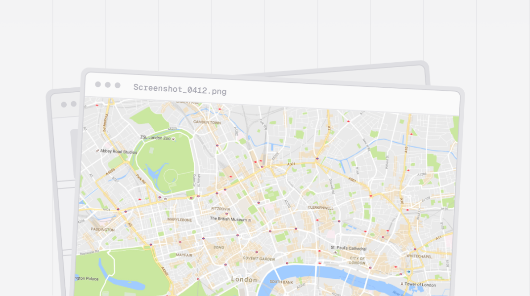
Table of contents
TL;DR: Design locates are slow because the first utility map depends on every utility owner responding, and many don't have to. Teams submit through 811, wait up to a week for mapping, then digitize screenshots and PDFs before field locates even start. Teams moving faster still run 811. They just start design on day one with utility intelligence from a platform like 4M, which shows documented utilities and their owners in seconds.
“It’s not even in a GIS format. A lot of times, that’s just a screenshot of a map that shows, hey, there’s electric on the west side of the road.”
— Survey lead at a civil engineering firm
How long does a design locate take before you see a map?
Getting the initial map drawn up usually takes a week with traditional utility mapping, and potentially two weeks before you can mark anything in the field. A survey lead at a civil engineering firm notes the complexities of the process: submitting an 811 request, obtaining a list of utility owners in the area, and reaching out to each. Their responses can take up to a week, and then field locates can take another week.
"Just to see mappings, it’s usually at least seven days."
That’s a week of schedule gone before anyone on the team knows what’s in the ground.
Why is the first utility map so hard to get?
The system is challenging because the process depends on dozens of separate owners, and in some states you don’t get a design ticket at all. Another survey group leader at the same firm put it this way: you call the person in charge of coordinating utility data for the state, get an email listing utility owners with their emails and phone numbers, “and it’s up to you to call and email. You get whoever responds.” His team has to figure out the right utility contact every time, which means they’re spending time on back-and-forth emailing instead of higher-value engineering work.
Whether owners answer depends on how busy they are with field locates. On one project, this process is inefficient. But when multiplied across all the projects the firm is running and across all the states where they operate, those inefficiencies become major bottlenecks that cost them time and money.
And delayed utility locating requests regularly push back construction timelines across the country. The Common Ground Alliance’s 2024 DIRT Report analyzed eight 811 centers that handled 6.8 million locate requests, about 16% of U.S. volume, and found that excavators had an average 38% chance of being unable to start work on time because of late locate responses, with delay rates ranging from 6% to 73% depending on the center.
A slow first map pushes the whole sequence back.
What does it cost to digitize utility maps by hand?
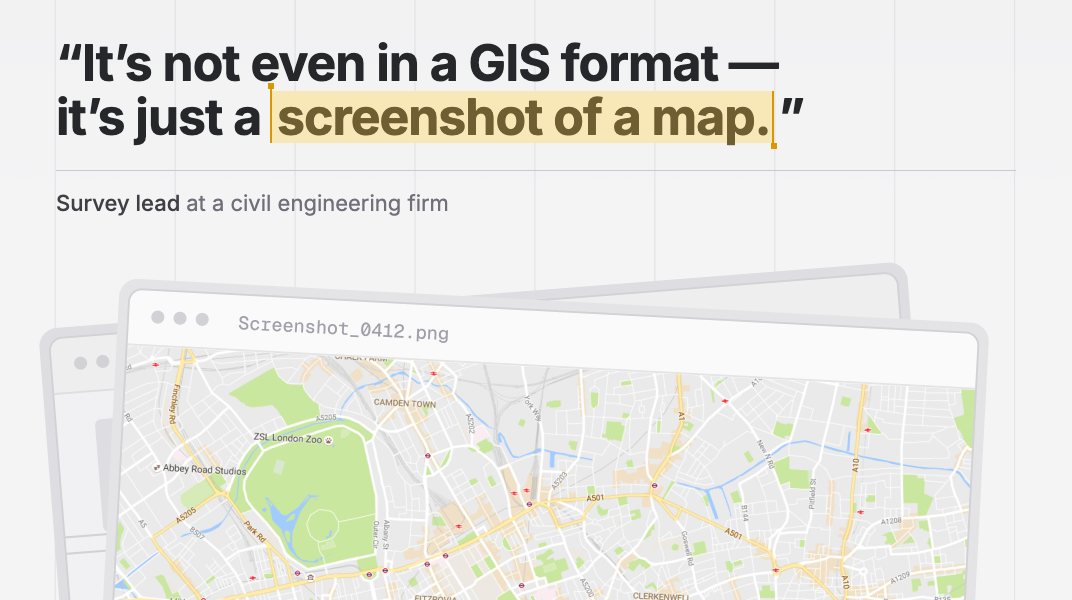
Once those maps are in hand, digitizing them adds even more non-billable hours before design starts. The survey lead notes that his team receives mapping from the utility owners in a hodgepodge of formats: images, PDFs, rough sketches, and sometimes just a screenshot of a map with an approximate location. Then they have to georeference it and digitize it themselves, redrawing it in GIS or CAD so the engineers can actually use it for design.
They’re far from the only firm facing this long, highly manual process. Before using 4M, Kimley-Horn typically got less than a 50% response rate within a 10-day window, sometimes waiting up to a month. What did arrive came as schematics, blueprints, and even pen-and-paper drawings that had to be assembled into a base map.
The slowness of the utility mapping process starts to snowball — researching what utilities exist on a site, who owns them, where they are, and how they’ll affect the project — and on time-sensitive projects, that can lead to significant delays. Those delays cost time, of course, and have budget implications, but they also delay critical projects that would improve the communities where they are implemented.
And they’re far from the only delays caused by the traditional utility mapping process, because often the data your team has waited so long for and painstakingly digitized isn’t accurate. Then the inaccuracy becomes a change order, and delays and budget overruns compound.
What’s changing in how teams get utility data during design?
Infrastructure teams are getting their first look at what's in the ground on day one with platforms like 4M, rather than waiting for every owner to respond. 4M is the utility intelligence platform for infrastructure: one platform, all utilities. Rather than starting design from screenshots, your team starts from a baseline of utility intelligence built from millions of utility records, including public GIS, as-builts, record drawings, and permits.
4M then checks those records against visual evidence, such as manholes, valves, and historical locate marks. Records show what's documented. 4M reveals what's actually built, so you scope, price, and design around what's likely in the ground, not what a rough screenshot suggests.
With 4M, you draw a project polygon and see documented utilities and their owners in seconds. You can stream or export that data in SHP, KML, DWG, DXF, or DGN directly into ArcGIS, AutoCAD, Bentley, or Trimble, with no redrawing. You can save owner contacts, so your team doesn't have to track them down again on the next project. Each AI-generated line has a confidence score, and geospatial experts verify the data.
It's a baseline, not a substitute for field work. 811, field locates, and SUE still happen. They just start from a map your team already has. After comparing 4M's data with their own topo on a live project, a surveyor at the same firm said the features were "dang near the same spots as we've got them drawn in CAD." At CMA, utility research dropped from 8 hours to 2 hours per project.
What could your team get done if manual records research wasn’t taking up days of their time every month?
FAQs
What are faster alternatives to 811 for utility data during design?

Utility intelligence platforms like 4M are the fastest way to see documented utilities and their owners during design, often in seconds. They work alongside 811, not instead of it. One-call notification is still required before excavation, and field locates and SUE confirm what's actually there. The difference is that design starts on day one while 811 requests run in parallel.
How long do utility owners have to respond to a design ticket?
Utility owners' response times for design tickets vary by state. In a 2023 review of 19 states, required response windows ran from 5 working days to 20 business days. Some states have no design ticket at all, and in some, owners aren't legally required to respond. Plan on a week or more, and expect some owners not to answer.
Why do utility owners send screenshots instead of GIS files?
Most design requests are handled by small teams in between their field locate work, and they send whatever records they can export quickly. That’s often an image or PDF without coordinates. Your team then has to georeference and digitize it. Platforms like 4M deliver the baseline already in GIS and CAD formats.
Do I still need field locates if I use a utility intelligence platform?
Yes, you still need field locates. 4M gives you a reliable baseline of documented utilities, visual evidence, and owners. It doesn't replace 811, field locates, QL-A or QL-B investigation, or engineering judgment. Teams use it to find where the risk is so field verification goes to the right places.
Recent blog posts





Our Newsletter
Join 7k infrastructure professionals
Get monthly insights on ways to build smarter, faster and safer with Utility AI.