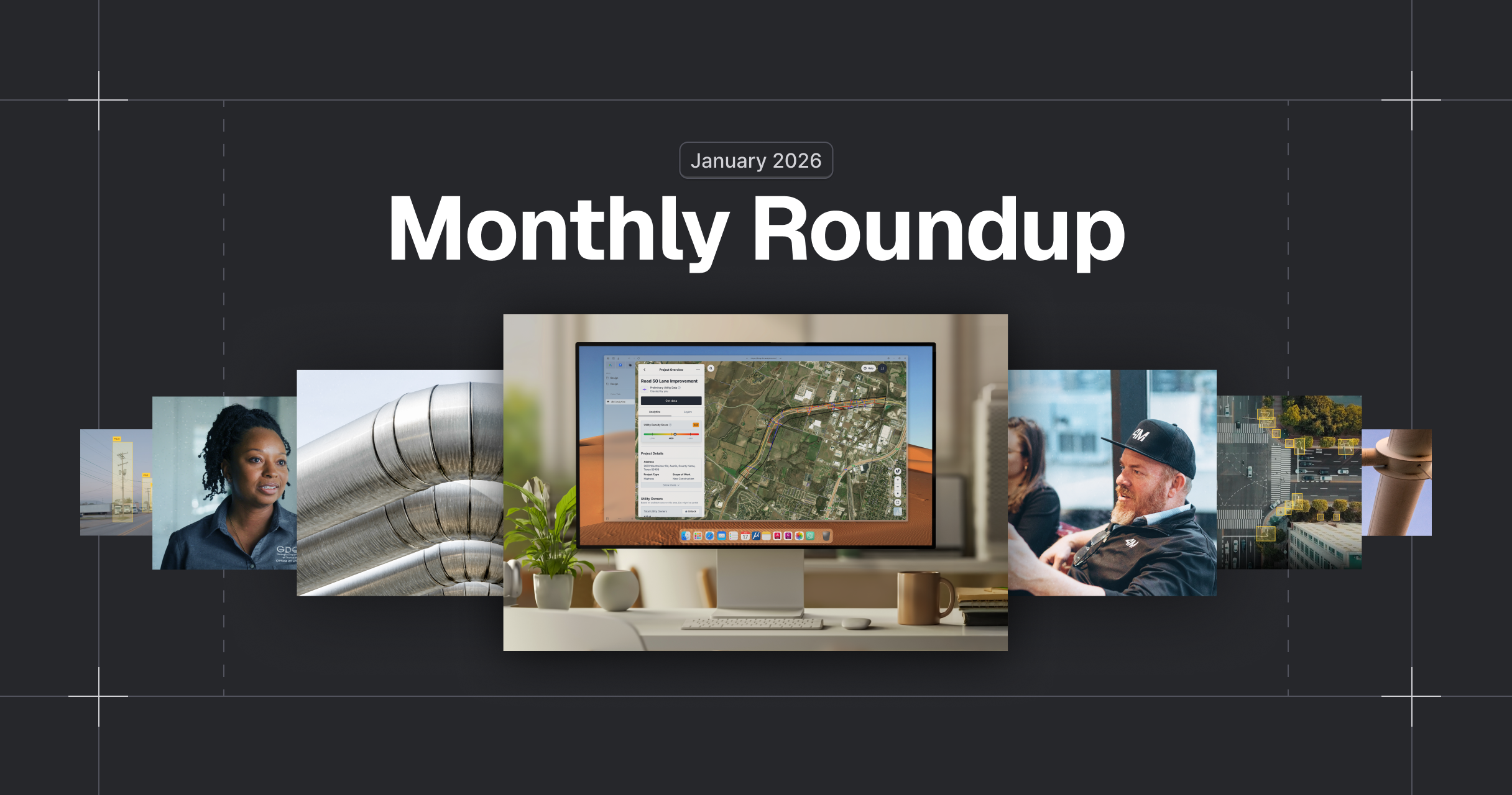
April Roundup 2025
Written by

Chris Garafola
Published on
May 6, 2025
.avif)
Table of contents
They say ‘April showers bring May flowers’—but here at 4M, those showers have blossomed into a garden of fresh features, bold launches, and quick‑win improvements to help you plan smarter, move faster and work safer.
And we boiled it all down in this months roundup so you can skim, learn, and move forward with confidence.
NEW FEATURES AND UPDATES
Object Detection
Object Detection uses computer vision to automatically identify above-ground utility objects—like manholes, inlets, valves, pedestals, and fire hydrants—and visually verifies them using aerial imagery, dash cam footage, and Google Street View. This isn’t just about seeing more—it’s about knowing it’s there.
With our latest release, Object Detection now lets you:
- Identify: Poles, manholes, valves, hydrants, inlets, and pedestals
- Classify: Instantly distinguish pole types—traffic, electric, or streetlight
- Validate: Confirm objects with time-stamped imagery and Google Street View
- Verify: Deploy field teams with clear targets for on-site confirmation and QA/QC
Now detecting 85% of utility objects with 95% accuracy, so you can plan smarter, move faster, and reduce field visits—across planning, design, and pre-construction.
Your team can use Object Detection to:
- Locate fire hydrants tied to critical water mains—when records fall short
- Surface key utility features early to avoid late-stage redesigns
- Unblock utility coordination workflows in hours, not months
- Cut field time in half with verified onsite targets
- Build more accurate bids with trusted object-level utility data
Whether you're scoping a bid, confirming a design, or prepping for field work—Object Detection helps you make faster, better decisions with data you can trust.
➡️ Learn more: [Support Article]
Utility Insights Dashboard
The Utility Insights Dashboard helps civil engineering teams quickly assess utility risks within their projects. Powered by 4M's GenAI Agent, it analyzes utility locations, ROW, parcel zoning, and crossings, flagging potential conflicts that teams can click on to diagnose directly in the map.
Key insights from the dashboard include:
- Risk Assessment – AI-powered risk summaries to accelerate decision-making.
- High-Risk Crossings – Flag critical crossings like gas and high-voltage lines.
- Parcel Impact – Identify parcels requiring easements or right-of-entry approvals.
- ROW Analysis – Identify utilities inside or outside ROW for permitting and relocation impact.
Your team can use Utility Insights Dashboard to:
- Surface complex utility conditions early to avoid unviable routes
- Identify ROW conflicts and high-risk parcels in seconds
- Flag off-ROW utilities to anticipate costly easement delays
- Improve proposal accuracy with early conflict visibility
- Reduce redesigns by aligning designs with real-world constraints
Whether you're planning a route, preparing a bid, or kicking off design—the Utility Insights Dashboard helps you de-risk decisions early, stay ahead of surprises, and keep projects moving forward.
➡️ Learn more: [Support Article]
See You Next Month
For more detailed insights and to stay updated on our latest features, visit our help center page. We will see you next month with another stack of exciting updates from 4M's Utility AI Platform.
Recent blog posts

Our Newsletter
Join 7k infrastructure professionals
Get monthly insights on ways to build smarter, faster and safer with Utility AI.
