








Request Access to 4M Data MCP

Tell us about your team and how you'd use it. We will reach out shortly to get you connected.

By clicking Book a Demo Today, I acknowledge 4M’s Privacy Policy

By submitting, you authorize 4M Analytics to send text messages with offers and other information. Message/data rates apply. Consent is not a condition of purchase. Terms & Conditions

Thank you for your interest in the 4M Data MCP

Your request has been received, and a member of our team will be in touch shortly to discuss next steps.

Go To Homepage
Oops! Something went wrong while submitting the form.

Utility intelligence, from planning to due diligence

Underground,
answered.

Every project sits on a network of utilities you can’t see. Now you can ask about it, right inside the AI tools your team already uses.

Works inside the AI tools your team already uses

The Problem

Knowing what’s underground takes weeks. Guessing costs far more.

Today, answering a simple question about a location means pulling records, maps, and people together long before anyone can make a call.

Chasing records

Requests go out to dozens of different owners, each with its own format and turnaround.

Reconciling maps

Sources disagree with each other, and someone has to decide which line to trust.

Waiting on a specialist

The questions queue up for a GIS expert while the project clock keeps running.

One question instead

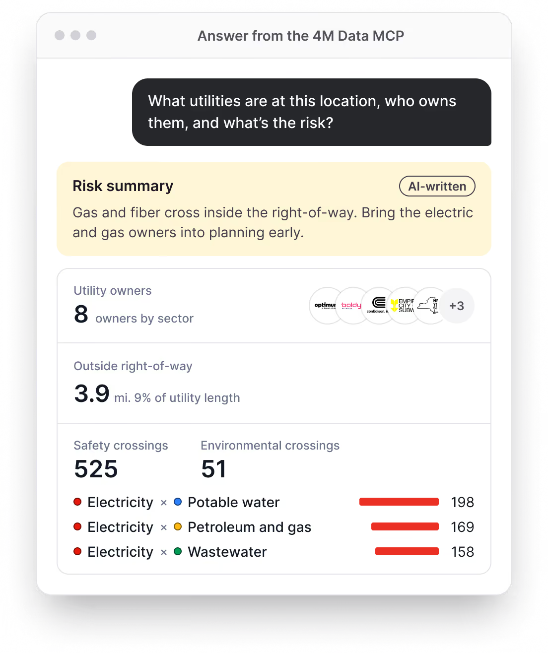
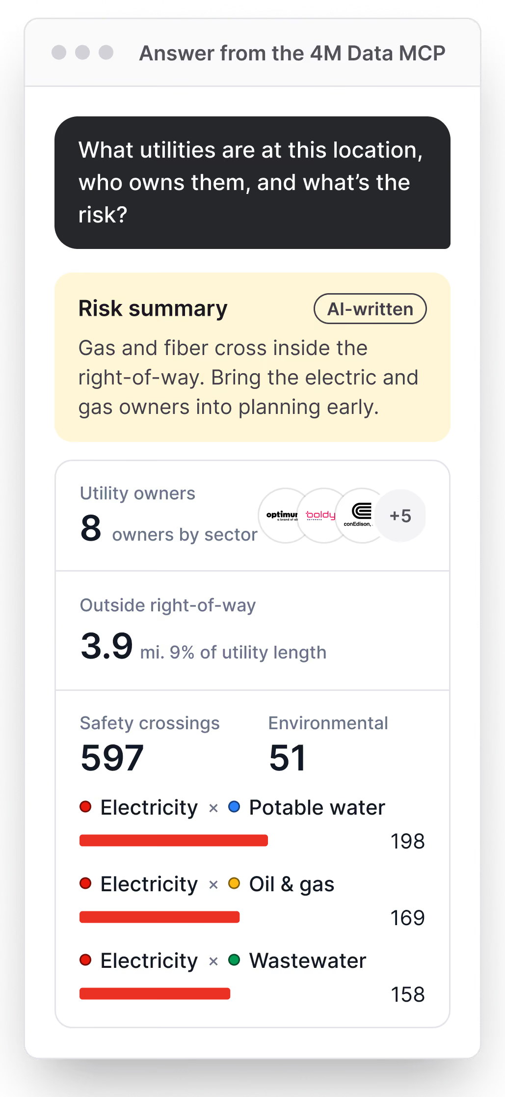
The 4M Data MCP turns all of that into a question. Ask about a location and get the owners, crossings, and risk in seconds.

$83.2B

Estimated yearly cost to the U.S. economy from damage to buried utility lines. That’s more than $227 million a day.

Common Ground Alliance, Between the Lines, 2026

221,717

Buried utility damages reported in 2025, a record high.

Common Ground Alliance, 2025 DIRT Data Summary

15–50%

Of agency staff time spent searching for data and information.

NCHRP Project 20-97

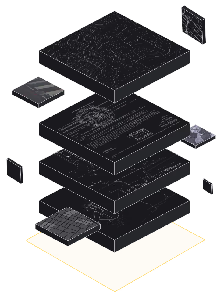
Every answer comes from America’s Subsurface Model.

4M’s map of what’s underground, built from public records, permits, as-builts, design files, and aerial and street-level imagery.a day.

How It Works

Less searching.
More knowing.

Ask about an address, a parcel, or a route. The answer comes back where you already work. No GIS skills required.

Who it’s for

Real questions.
Answered in seconds.

For anyone who needs to know what’s underground before they plan, build, buy, insure, or dig.

“Who owns the lines crossing this parcel, and what are they?”

Developer

Site due diligence

“How risky is this job site for a contractor working downtown?”

Insurer

Underwriting

“How many owners and risky crossings sit along this fiber route?”

Fiber and telecom

Route planning

“Which utility owners should we bring into planning this corridor?”

GIS platform

Planning

Built for teams across infrastructure

Developers

Insurers

Real estate

Fiber and telecom

Finance and investors

GIS and software platforms

Engineering and construction

AI agents

Integrations

Bring it into

your agent.

Connect the 4M Data MCP to the AI tools your team already uses and ask about any address.

Request Access

There's more to every project. It's just below the surface.

Before you dig, call 811. The 4M Data MCP is for planning, screening, and due diligence.

Request Access