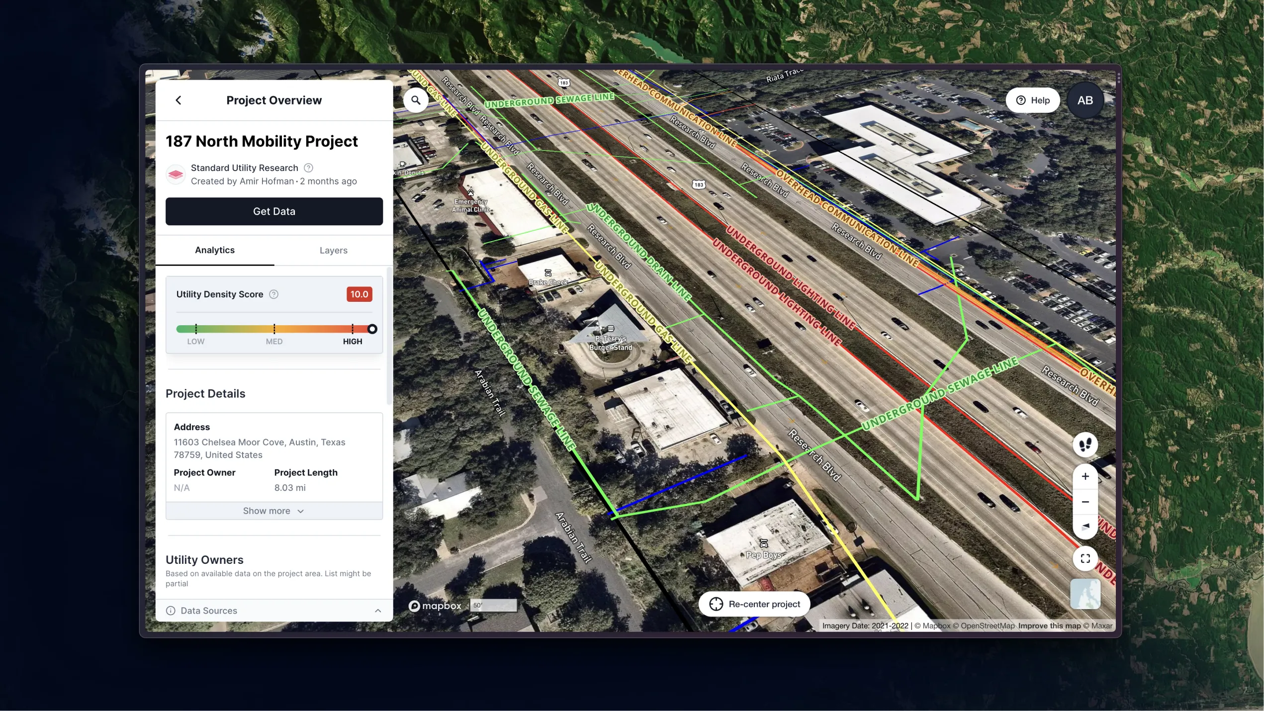
Utility AI mapping and analytics solution
Reliable, real-time utility data for project owners, government, engineers, and GCs during the early stages of infrastructure development - right from your office.
.svg)
Trusted by the industry leaders


.svg)


.svg)
.svg)


.svg)

.svg)

roi
Liberate your engineers
75% cost saving in record research
time
Streamline planning, with precision
90% time saving in record research
risk
Verify & validate, with confidence
50% additional utility line coverage avoiding unknowns
solutions
Utility AI
Mitigate risk during the earliest, most effective stages of construction.
Civil engineers
.svg)
General Contractors
.svg)
Project owners
.webp)
Utility owners
.webp)
SUE
.webp)
.svg)
value
Infrastructure Mapping
Utility owners data, CAD files and geospatial analysis tools - All in one platform
Testimonials
Why 4M Analytics

“It completely changes the delivery schedule”
John Campbell
Texas Branch Manager
T2 Utility Engineers
.webp)
“The amount of utility data and how fast we've gotten have exceeded expectations”
Wes Kaisershot
VP, Director of Engineering
SurvWest, LLC


Get your utility data today
It only takes a few clicks

.png)
